Here’s a cool little terrain profiler. You set a couple of points on google earth and it will give you the terrain profile inbetween.
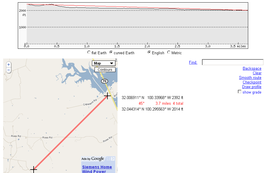
Terrain Profiler
Comments
2 responses to “Terrain Profiler”
-
Not too bad of a tool
-
That’s Google Maps, not Google Earth. Nice to use to see the terrain but less useful in the fixed wireless world when antennas are usually AGL.
Ligowave or Ubiquiti’s tools are better for that.
http://www.ligowave.com/linkcalc/main.html
http://www.ubnt.com/airlink/ (this actually uses Google Earth =)


Leave a Reply